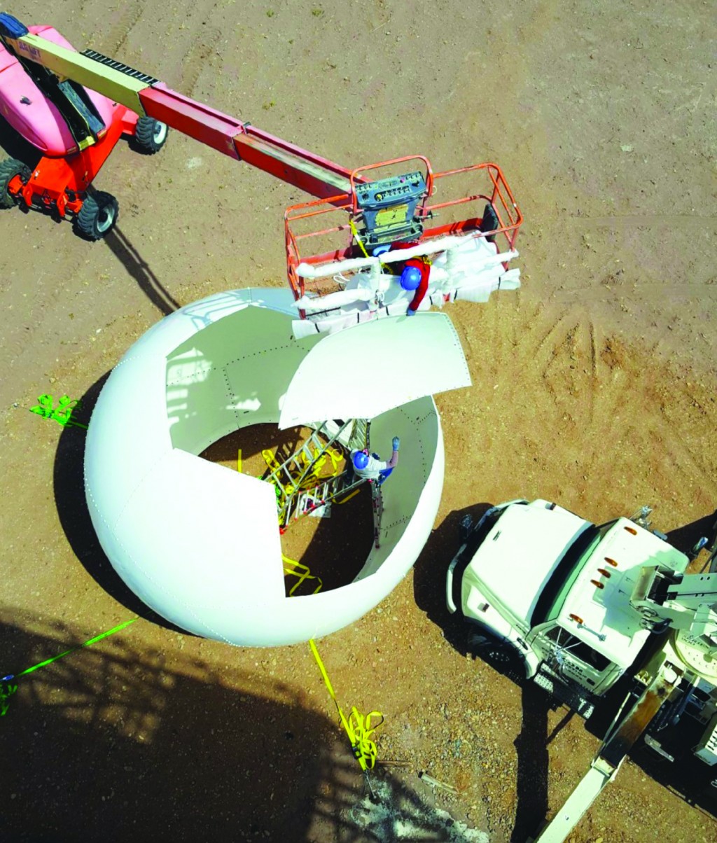
Doppler radar installed for San Luis Valley

MONTE VISTA — During the Roundtable session at the Agricultural Conference in Monte Vista earlier this month, speakers discussed the many benefits of a new Doppler radar system installed at the Alamosa airport in September 2019.
Alamosa County Administrator Gigi Dennis explained at the radar grand opening ceremony that the airport was found to be the central point of the Rio Grande Basin and would serve as an ideal location. Heather Dutton with the San Luis Valley Water Conservancy District, Nathan Coombs of CWCD, and Cleave Simpson of RGWCD helped acquire property and build the permanent system.
A seven-county group worked with the Colorado Water Conservation Board and the Colorado Department of Transportation to purchase and install permanent Doppler radar at the airport. In 2018, Doppler systems were installed at Bristol Head and Lobo Overlook on Bristol Pass, near the West Fork Complex Fire burn scar. This will help predict future flash floods in the region.
According to the Rio Grande Watershed site at https://www.rweact.org/publications, previously the San Luis Valley was in a radar desert. The San Juan and Sangre de Cristo mountain ranges blocked coverage from nearby radar stations in Grand Junction and Pueblo and prevented NOAA and the National Weather Service from monitoring weather events in the San Luis Valley.
This data gap hampered efforts in forecasting water supply, hydrologic modeling, as well as public safety and emergency management in the San Luis Valley. Administration of the rivers for water rights and accurately meeting the Rio Grande Compact obligation had become very difficult as existing water supply forecast data then available showed discrepancies in comparison to actual event flows.
The new radar system provides blanket coverage for the area in the Valley now not visible on radar, the Rio Grande watershed site shows. The radar also assists local public safety administrations in identifying threats to public safety, including fire and flood events.
Permanent radar installation in the Valley now allows the coupling of local hydrologic modeling data with national modeling systems and local SNOTEL sites, and this will help to better determine water rights administration and interstate river compact obligations.
Partners in the project included: Rio Grande Water Conservation District, Conejos Water Conservancy District, San Luis Valley Water Conservancy District, San Luis Valley Irrigation District, Rio Grande Watershed Emergency Action Coordination Team, Colorado Water Conservation Board, EWR Radar, Division of Water Resources, Alamosa County, Conejos Water Users Association and Rio Grande Water Users Association.
Total cost of the project was $1.3 million, but costs were defrayed by $300,000 from Capitol Development Committee as well as support from the Colorado Department of Transportation.
Now that the radar is up and running, data collection is underway, and a website will be developed where the data can be accessed.


